
Rock Hill Neighbor Record Sources
Public records around a Rock Hill address answer different questions. County One Map and the property card connect a parcel to property information. The Register of Deeds can document parties to a selected instrument. City permit and open-case sources place a project or municipal case at an address. The voter system and neighborhood organizations have tightly limited roles. None creates a current block household list, so a result should be read as evidence of one record relationship rather than proof of who lives beside a home.
| Block source | What it shows about a block | Access |
|---|---|---|
| York County One Map | Parcel geometry and mapped, property-related information | County parcel viewer |
| Property Card Search | Individual property and assessment evidence | County portal or Assessor office |
| Register of Deeds | Recorded parties, instruments, and legal descriptions | Web index and York office |
| City permit or open-case source | Project or case location at a particular address | City tools or written FOIA request |
| Neighborhood map and council | Public association geography and civic contacts | City Neighborhood Services |
Owners and occupants are not interchangeable. A property card may show an ownership or tax association, while renters, minors, nonregistered adults, and protected-address participants may not appear in the same record at all.
Map a Rock Hill Block
The county’s verified method is parcel by parcel. One Map can search by address, Tax Map ID, or subdivision. Find the target address, then pan and zoom to the immediately touching parcel polygons. Save each parcel number and physical address before opening its individual record. The county has not verified a public buffer, radius, or one-click neighbors tool. Visual closeness on a map is not evidence of a household, tenancy, association membership, shared ownership, or a legal boundary.
- Find the target address in One Map or open the Assessor search in Address mode with house number and street name.
- Select only the parcel polygons that touch the target parcel, then record each TaxMap ID and visible physical address.
- Search every selected parcel separately in the county property system and keep its legal description distinct from its mailing data.
- Use the owner as a recorded-party lead in the Register of Deeds only when historical title matters.
For a full named-street trail rather than the immediate block, use the Rock Hill street directory. That address-focused route follows the longer parcel and deed chain without treating a block view as a household roster.
Rock Hill One Map Limits
York County GIS verifies that One Map offers address, Tax Map ID, and subdivision searches, with parcel and owner reports, jurisdiction and school-district information, plats linked to the Register of Deeds, historic aerial imagery from 1970 forward, and single-parcel CAMA tabular data since 2020. Those tools are strong ways to identify a parcel, but they are mapping-quality information. The county warns that parcel boundaries are approximate, and a survey or deed controls a legal boundary question.
An apparent address or parcel mismatch has a direct fallback. Submit the County Report Parcel and Address Errors form or contact GIS and the Assessor. If the question is a boundary dispute, use a licensed surveyor. Correcting a map problem is not a reason to infer a nearby household connection from a visual line on the screen.
Note: Save the TaxMap ID and legal description with each parcel result because street labels and mailed addresses can change independently.
Rock Hill Address Activity
City records add activity at an address, not resident identity. Rock Hill Planning and Development offers map-based permit activity, the Evolve application portal, development activity reports, and a written FOIA path for permits, Certificates of Occupancy, or related files. A plan-review record can identify an application or project, approval status, address, and work description. It does not establish who is presently at the property or who is responsible for a city case.
The City migrated its permit portal to the current Evolve address in 2024, so an old saved address can fail. When a sought file is not visible, make a written Rock Hill FOIA request with the address, permit or project number, and date range. The city advises requesters to include a permit or project number when possible.
Rock Hill Neighborhood Geography
Neighborhood lines are civic geography, not a resident directory. The City’s May 7, 2026 Neighborhood Associations PDF maps 116 named organizations and marks their status and location. It includes organizations such as the Aragon Neighborhood Association, Ashley Park Homeowners Association, College Dunes Neighborhood Watch, Ebenezer-Oakland-Park, Flint Hill Community Association, Saluda Street Corridor Association, and Stonewall Neighborhood Association. The dated map can change, and it does not publish members, individual contacts, or a list of homes inside an organization.
Rock Hill’s street and neighborhood history can also affect how a block is researched. The 1947 annexations of Catawba Terrace, Mount Gallant Farms, Finley Road, and East Main Street enlarged the city by 67 percent. That shift is a reason to check the map, current parcel jurisdiction, historic plat, and the correct period source before assuming a modern neighborhood label applied to an older address.
Rock Hill Community Contacts
Neighborhood Empowerment helps city-limit associations form, receive city-agenda notices, arrange civic training, and request police attendance. The Rock Hill Council of Neighborhoods is the umbrella body for recognized or approved organizations. These are reasonable public routes when the goal is to understand community geography or find an organization contact, not to obtain a household list.
| Community route | Useful purpose and limit |
|---|---|
| Neighborhood Empowerment | Association formation, civic support, meeting notices, and public city contact help. It does not publish member rosters. |
| Rock Hill Council of Neighborhoods | Umbrella contact for recognized neighborhood organizations. Membership is free, but it is not a resident listing. |
| Neighborhood Associations PDF | Dated association names, statuses, and mapped geography. Verify a label with the city before calling a group active. |
Rock Hill Voter Records
South Carolina’s MySCVotes service is an individual self-check. It requires county, first name, last name, date of birth, and the last four digits of a Social Security number. It is not a public block browser. The State Election Commission has a separate saleable-data process for authorized purchasers, with its own eligibility, fields, conditions, and prohibition on commercial solicitation. Neither pathway should be described as a way to list everyone near an address.
A voter file is inherently incomplete as a neighbor source. It excludes people who are not registered, protected Address Confidentiality Program participants, and people not included in that particular product. It also does not disclose ballot choices. For local election help, the York County Elections office is the appropriate official contact, not a parcel map or a name search.
Historic Rock Hill Block Evidence
For a past block, the strongest local address layer is archival. Winthrop’s Louise Pettus Archives holds the York County Cross Reference Directory, including a 1968 street and numerical-phone layer, as well as Rock Hill city and telephone directories. The city-directory collection has 121 bound volumes with inclusive dates of 1913 through 2026. Those sources can anchor a name or address at a particular time, but they are not a current occupancy record.
The Rock Hill cemetery search provides another careful historical lead through deceased-name, burial-date, plot-owner, master-ID, and map modes.
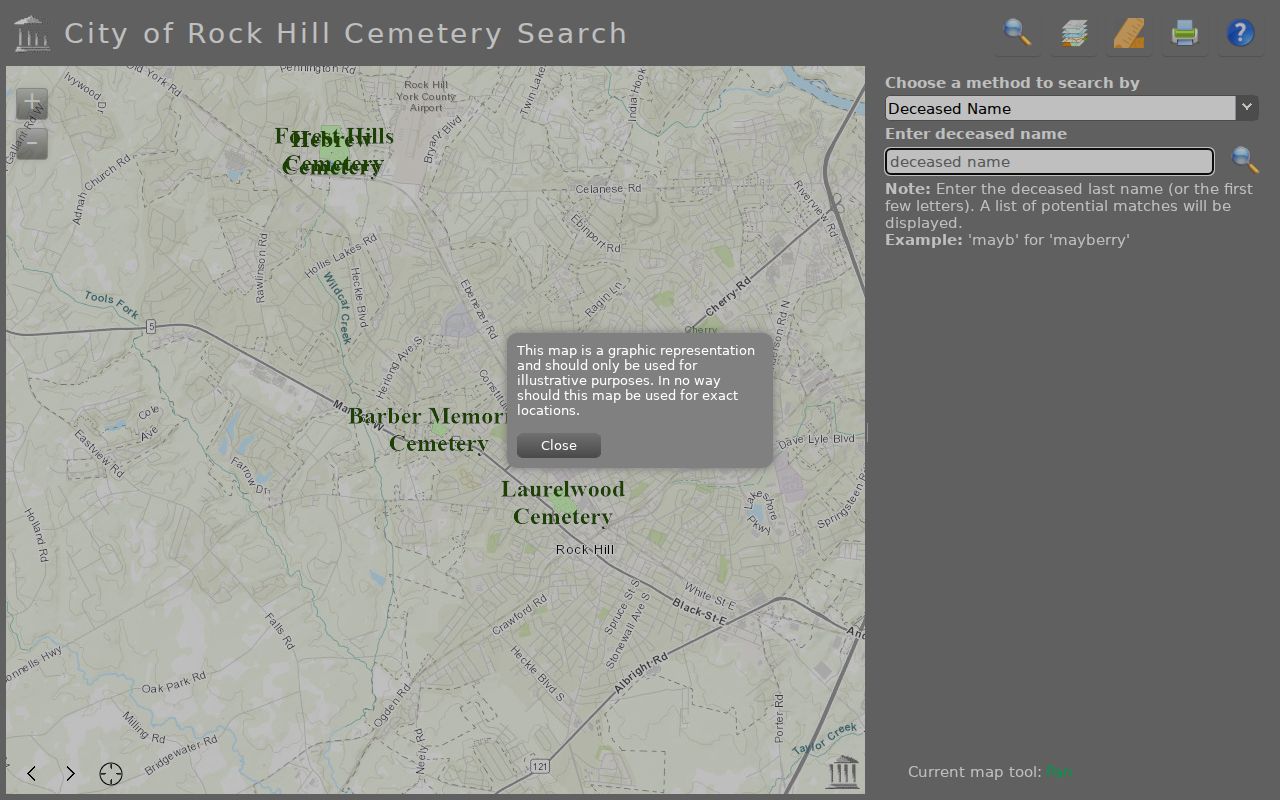
The city says its cemetery listings are incomplete, so a no-match should be followed with the cemetery office, York County Library burial indexes, a funeral notice, or the church or cemetery that administered the burial.
Rock Hill Neighbor Source Comparison
Official records document a limited, attributable fact and identify the custodian who can correct it. Commercial neighbor-lookup products are a broad category that may combine stale, mismatched, or unexplained data. They are not linked or recommended here. The safer approach is to start with the precise parcel or record question and confirm it through the source office.
| Source type | Best use | Important limit |
|---|---|---|
| Official parcel and land records | Parcel, ownership association, legal description, and recorded instrument trail | Do not identify every occupant or settle a survey issue. |
| City project and case records | Document activity at a specified address | Project location is not evidence of a resident or responsibility. |
| Community organization sources | Association geography and public civic contact | Not a membership or household directory. |
| Commercial neighbor tools | No recommended use for verification | Can be stale, conflate people, and hide collection methods. |
Rock Hill Neighbor Privacy
A map may show a parcel and an owner or recorded party, but it does not reveal every renter, minor, nonregistered adult, utility customer, delivery customer, or DMV address. The South Carolina Address Confidentiality Program supplies eligible participants a substitute address. Since January 1, 2026, qualifying judges and certified law-enforcement officers may seek designated personal-data suppression from government websites. A blank or partial result must not be used to make claims about who is or is not on a block.
When a county map conflicts with a deed, call the Register of Deeds at 803-684-8510 or use the county correction process. When a historic address association is needed, ask Pettus Archives, York County Library, the Historical Center, or the city historic-research staff for the correct period source.