
Rock Hill ZIP Delivery Coverage
Rock Hill address work should consider 29730, 29731, 29732, 29733, and 29734, while keeping their roles separate. Federal Census material associates 29730, 29732, and 29733 ZCTAs with Rock Hill. USPS labeling groups several codes under a Rock Hill distribution label. Neither source turns every address in those codes into a city address. The table records the limits of what the research verified, so an individual delivery address still needs a USPS check and a local jurisdiction check.
| ZIP | Delivery context | Post-office reference | Research caution |
|---|---|---|---|
| 29730 | Rock Hill ordinary delivery context | Rock Hill Post Office, 206 S. Wilson Street | Associated with the Rock Hill ZCTA, but may include addresses outside city limits. |
| 29731 | Rock Hill City mailing and P.O. Box context | City mailing address uses 29731-1706 | Do not treat a P.O. Box ZIP as a physical neighborhood or parcel area. |
| 29732 | Rock Hill delivery context | Cherry Road and Ebenezer offices are listed in 29732 | Exact delivery lines require an address lookup. |
| 29733 | Winthrop University and Rock Hill institutional context | Louise Pettus Archives uses 29733 | Campus proximity alone does not establish an individual delivery ZIP. |
| 29734 | Related Rock Hill delivery designation | No authoritative boundary or post-office description verified | Verify with USPS and One Map before describing its type or area. |
A ZCTA is a Census approximation created for statistics. A USPS ZIP is a delivery-routing area. York County One Map is a parcel and jurisdiction resource. They can overlap, but they do not answer the same question. The Rock Hill ZIP code directory therefore works best as an address-verification starting point, not as a substitute for a city map or land record.
Rock Hill ZIPs 29731 and 29733
Two local ZIP contexts require special care. Rock Hill uses 29731 for its P.O. Box mailing address, so a 29731 result can identify mail delivery without identifying a street location. Return to the physical address before consulting a parcel, permit, or local jurisdiction record. A mailing address and a property location are different fields, even when the city name is the same.
ZIP 29733 has a strong Winthrop context because Pettus Archives at Winthrop uses that code. Census associates its ZCTA with Rock Hill. Those facts describe an institutional and statistical connection, not a defined neighborhood boundary. Use the full address in USPS Lookup for delivery confirmation, then use One Map for the parcel's city or county jurisdiction.
Note: A familiar postal label helps route mail, but it does not prove a location is within Rock Hill corporate limits.
Verifying a Rock Hill ZIP
The official USPS delivery lookup is the delivery authority for a full street address. It is the proper first check for 29730, 29732, or an uncertain 29734 address. For city-service, tax, permit, or parcel questions, continue to York County's mapping and property tools after USPS returns the delivery ZIP. That two-source method keeps delivery geography separate from local government geography.
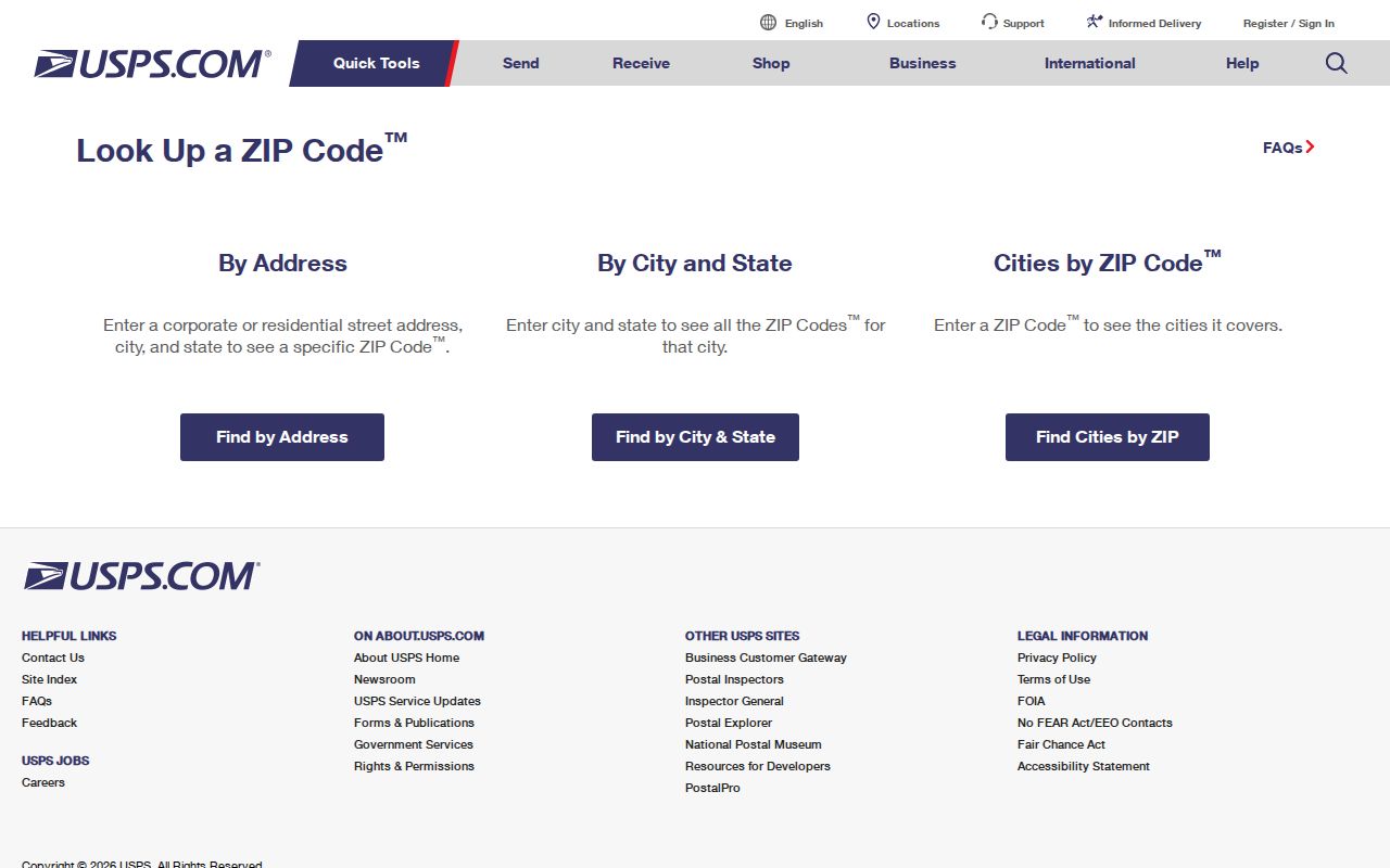
The lookup screen is a useful reminder to enter the complete address rather than guess from a neighborhood name. A verified delivery ZIP can be saved with the address, while the parcel's tax-map number and legal description should be kept separately for York County research.
- Enter the complete Rock Hill street address in the USPS delivery lookup and record the returned delivery ZIP.
- For a 29731 mailing result, identify the physical street address before opening local property records.
- Use York County One Map to check the parcel, local jurisdiction, and tax-map reference.
- Use the property card or recorded-instrument route only after the address and parcel are matched.
- Preserve the source and date for each result because postal and local systems can change independently.
Rock Hill ZIP Search Limits
No verified local property, map, voter, or Register of Deeds tool offers a ZIP-wide person, owner, or resident filter. York County Evolve has verified Search Type choices for Address, TaxMapID, and Owner Name. One Map is verified for address, Tax Map ID, and subdivision work. The Register of Deeds uses party, date, book, and property-description paths. A ZIP narrows an address question, but it does not generate a local list of people.
| Local tool | Verified entry fields or paths | What it can establish | ZIP limitation |
|---|---|---|---|
| York County Evolve property entry | Address, TaxMapID, Owner Name | Property-system route for an identified address or parcel | No verified ZIP search type. |
| York County One Map | Address, Tax Map ID, subdivision | Parcel, jurisdiction, owner, school-district, and tax context | No verified ZIP-wide resident filter. |
| York ROD online records | Party, date, book, property description | Recorded instrument and legal-description research | ZIP is not a land-record index key. |
| MySCVotes | County, first name, last name, date of birth, last four SSN digits | Individual registration self-service | Not a public ZIP or street browser. |
The correct next step after USPS verification is a specific address or parcel search. For a named street once an address is known, the Rock Hill street directory route explains the county parcel and recorded-document sequence. It should not be replaced by a ZIP-only guess.
Rock Hill ZIP City Limits
A Rock Hill postal city can include an address outside municipal limits, and a parcel's city status can change through annexation. India Hook, for example, has been partly annexed while remaining associated with a 29732 postal context. That is why a mail label cannot settle whether City of Rock Hill or York County has the relevant record. One Map's jurisdiction layer is the local check for the contemporary parcel.
Use postal, Census, and parcel sources in sequence. USPS answers delivery. A ZCTA supports statistical context. One Map identifies local parcel and jurisdiction information. The Register of Deeds uses the legal description, which does not use ZIP. When those fields differ, preserve all of them rather than forcing one value to serve every purpose.
- ZIP
- A USPS mail-delivery routing designation for an address, not a municipal boundary.
- ZIP+4
- An added delivery detail used with a ZIP. It does not create a separate city jurisdiction.
- P.O. Box ZIP
- A mailing context for a postal box. It does not identify the box holder's physical parcel.
- Carrier route
- A postal delivery grouping. It is not a city-limit line or a public local-person index.
Rock Hill Address Fields and ZIPs
York County property work relies on separate identifiers. A situs address is the physical location of a parcel. A tax mailing address is where notices are sent. A legal description and tax-map number identify the land across address changes. A ZIP can occur with either a physical or mailing address, while the legal description does not use it at all. Keep these values in separate notes before comparing county and city records.
The County Assessor maintains real-property ownership data, legal descriptions, tax districts, deed-sale transactions, building permits, and tax maps. The York County Assessor property entry links to Record Search, Property Card, GIS, and QPublic. If the web route does not resolve an address, the Assessor office can be reached at 803-684-8526. A map result is a locator, not a recorded-title certification.
Note: A tax mailing ZIP may differ from the situs ZIP, so neither value alone proves a present physical location.
Rock Hill ZIPs After Annexation
Rock Hill expanded in 1947 when Catawba Terrace, Mount Gallant Farms, Finley Road, and East Main Street were annexed, increasing municipal area by 67 percent. Annexation changed the city footprint, not the legal meaning of a USPS routing code. Historic research needs the date of the directory, map, or plat alongside the current delivery and jurisdiction result.
The City also altered portions of several downtown streets through a 1964 Central Business District plan. For an old address, compare the directory's printed text with a period map, subdivision or plat, the current TaxMap ID, and One Map. No official citywide renumbering year was verified. A mismatch should be documented and researched, not repaired with an assumed postal boundary.
Rock Hill ZIP Addressing Rules
York County's Addressing Manual applies across the county, including municipalities. The County's TheAddresser GIS is named as the countywide authority for street names and addresses. Inside Rock Hill corporate limits, City Information Technology Services reviews address and street-name assignment, change, and verification, while County Public Safety Communications handles unincorporated county areas. County keeps final street-name approval to avoid duplicates.
The manual uses consistent odd and even sides, roughly one address per 25 feet, and four-number growth spacing. Historical assignments can conflict, and changes are limited to material safety reasons. For a private drive serving three or more residences, the manual requires majority agreement from adjacent owners and lists a $150 fee. These rules make county confirmation more reliable than inferring a location from a directory entry or map label.
Rock Hill ZIP Research Workflow
Use the Rock Hill ZIP code directory as a narrow first step: verify the full delivery address with USPS, then compare the parcel and jurisdiction in One Map, then use the tax-map number or legal description for county property or recorded-document work. For municipal project history, Rock Hill Planning and Development offers a permit map, online portal, development reports, and a written FOIA fallback. Each channel begins with a location, not a ZIP-wide name search.
For an address error, York County provides a Report Parcel and Address Errors route through its GIS guidance. For a historic mismatch, retain the original street number and spelling, compare the period directory with a Sanborn or historic map, and seek archive or City preservation help. The result is a record trail that respects delivery, parcel, city, and historical geography without treating any one label as the whole answer.