
Trace a Rock Hill Street
For a Rock Hill address, begin with the county parcel rather than a name. York County's Assessor and One Map tie the physical location to a tax-map number, a legal description, a jurisdiction, and property information. The Register of Deeds then connects that parcel trail to recorded instruments. A deed can name parties to a transfer, but it is not a current household list. Historic directories and maps add a dated address association only after the parcel and street spelling have been checked.
- Search the address in the York County Assessor's Evolve property search. Save the TaxMap ID, the physical address, and the legal description shown for the parcel.
- Open York County One Map Reports to confirm the mapped parcel, its jurisdiction, and the street context. A map boundary is a research locator, not a survey.
- Use the current owner or legal description in the Register of Deeds index. Record each grantor, grantee, filing date, book or instrument reference, and parcel clue before moving backward.
- For a city project, check the permit activity map, Evolve permit route, development reports, or a written City FOIA request. Keep project activity separate from an occupancy conclusion.
- For a past street association, ask Louise Pettus Archives about the York County Cross Reference Directory, then compare its address entry with the matching city-directory year and historic map.
The sequence prevents a common mistake: treating a street number as the permanent identifier. Rock Hill addresses can sit in changing city, postal, and county contexts. The tax-map number and legal description help carry the search through a changed street label, a plat reference, or a subdivision record.
Note: Keep the printed address, parcel identifier, and legal description as separate notes because each may lead to a different official record.
Rock Hill Street Search Fields
The county's Evolve landing page is the practical first stop for an address-based street directory search. Its verified Record Search offers three Search Type choices: Address, TaxMapID, and Owner Name. Address mode uses separate House Number and Street Name fields. That division matters when a directional word, suffix, or historic spelling produces an empty result. If the address route fails, use One Map to obtain the tax-map number, then search that exact identifier instead of broadening a person-name search.
| Visible field | Input | When to use it | Result clue |
|---|---|---|---|
| Search Type | Dropdown | Select Address, TaxMapID, or Owner Name | Sets the criterion for the record search |
| House Number | Text | Use with Street Name in Address mode | Starts an address-specific parcel search |
| Street Name | Text | Use with House Number in Address mode | Helps distinguish similarly numbered parcels |
| TaxMapID | Text | Use after One Map or a prior property result | Connects the parcel to later record work |
| Owner Name | Text | Use only for a known property interest | May lead to a property-card result |
Results expose TaxMap ID, Property Card, owner, Details, and Map columns. The county describes the underlying assessment inventory as ownership boundaries, legal descriptions, tax districts, deed-sale transactions, building permits, and tax maps. A legal-residence assessment classification, when one appears on a particular record, is only a narrow assessment clue. It should not be turned into a statement about every person connected to the address.
Note: If the address search misses, use the mapped TaxMap ID before assuming the parcel or street record is absent.
Rock Hill Street Map Checks
York County directs parcel, owner, school-district, jurisdiction, and tax questions to One Map Reports. The GIS FAQ verifies searches by address, Tax Map ID, or subdivision and notes historic aerial imagery from 1970 forward. Use the map to orient the address, inspect the individual parcel, and compare the jurisdiction layer before making a conclusion about a Rock Hill street. A postal label can cross a city limit, and a current map does not supply the wording of an older deed.
See York County One Map Reports before moving from the address to the deed index.
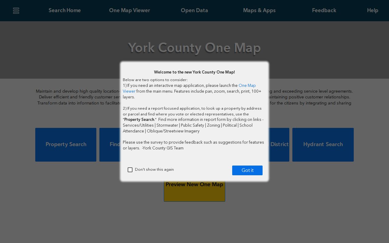
One Map is most useful as the connection between a street address and an individual parcel. For a question about a legal boundary, obtain a licensed survey. The GIS viewer is not a replacement for a recorded deed or a survey.
If the map and the address do not agree, York County provides a Report Parcel and Address Errors route. That correction process is the right fallback for a map mismatch. A deed or restriction question belongs with the Clerk of Court and Register of Deeds instead.
Rock Hill Street Deed Chain
The York County Register of Deeds online record system is the recorded-land layer of a Rock Hill street directory. County guidance says documents recorded after July 1982 are online. The direct Name Search supports grantor and grantee names, optional dates, entity type, document categories, and date or name sorting. It also has Book/Page or File Number and Property Description search modes. Use those modes when a party name is common or the deed identifies a lot, block, plat, or subdivision more clearly than a street number.
Search the current owner as a grantee to locate the acquisition deed. On that instrument, the seller is the grantor. Search that seller as a grantee to locate the earlier acquisition, then repeat the sequence. Record the filing date, document type, code or book/page, legal description, and cross-reference each time. The portal caps initial output at 2,000 results, so narrow by date or document type rather than running a broad surname search.
Visit the York County deed index for the online entry point and its official disclaimer.
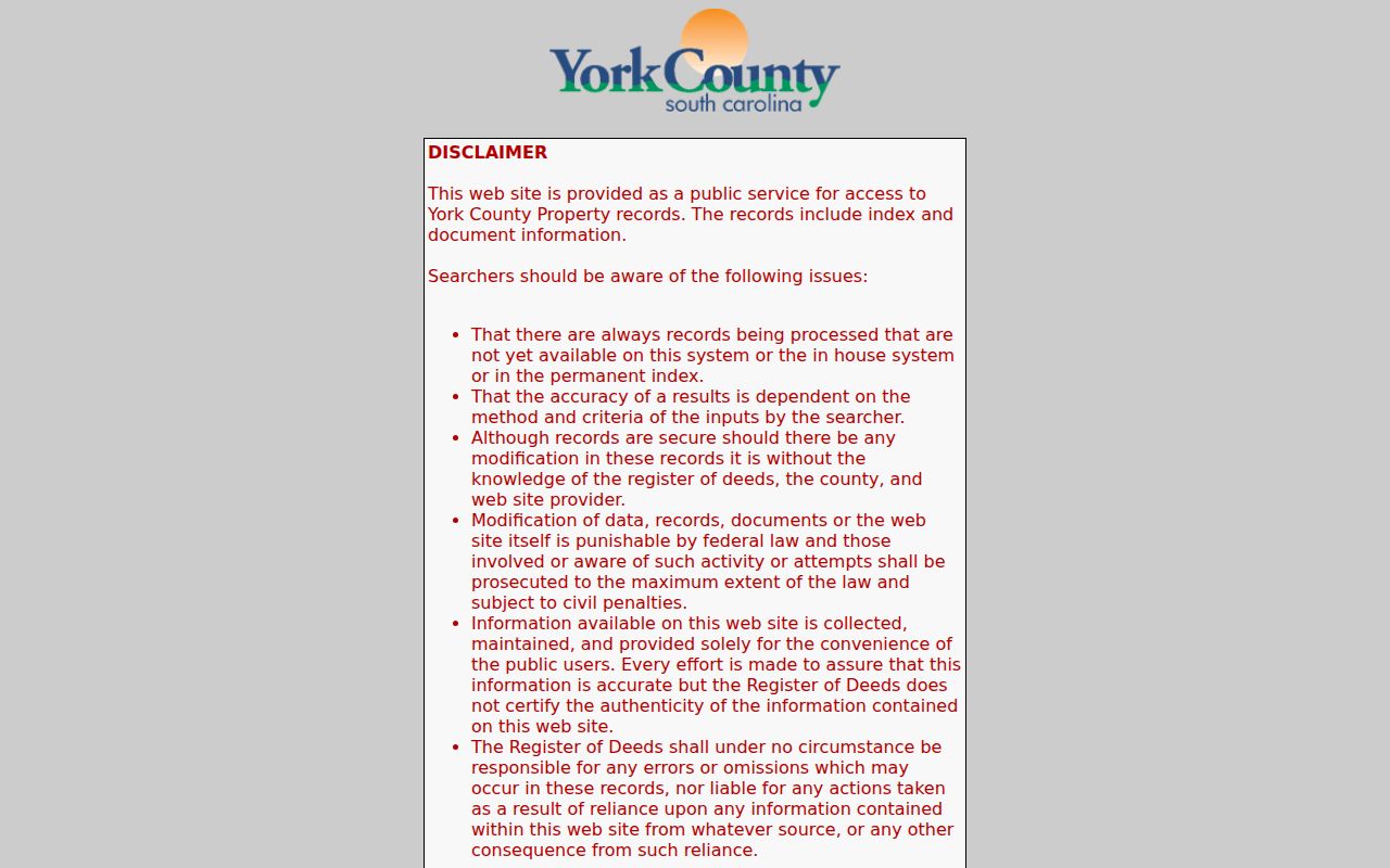
The county warns that processing can leave a recent instrument out of the web, in-house, or permanent index for a time, and the office record controls if the online entry differs. For older material, ask the ROD counter for grantor/grantee books, deed books, plats, and microfilm rather than calling a missing web result a missing deed.
Rock Hill Street Permit Trail
Rock Hill Planning & Development provides a different address layer: permit activity, Certificates of Occupancy, development reports, zoning-verification requests, and related files. The City identifies four routes: a map-based activity view, the online application portal, monthly or annual Development Activity Reports, and a written FOIA request. Permit material can help date construction, alteration, demolition, or a city project at a location. It does not establish who occupied the site at a particular time.
The City moved its Evolve permit portal to a new host in 2024, so an old saved address may fail even when the current route works. When requesting a permit or Certificate of Occupancy, give the exact address, date range, and any permit or project number. Rock Hill says a project number can help its database retrieve the right record faster. The Planning & Development counter is appointment-only on weekdays at 155 Johnston Street.
A Rock Hill FOIA request must be written and may be submitted in person, by mail, or by email. The City may require a deposit of up to 25 percent before research. Ask for a defined file, not a broad collection of personal information.
Note: A permit number is a stronger request detail than a general street name because the city can route a specific record to its custodian.
Rock Hill Street Growth Geography
Rock Hill street research needs a period check. In 1947, annexations added Catawba Terrace, Mount Gallant Farms, Finley Road, and East Main Street, increasing city area by 67 percent. A 1964 Central Business District plan altered portions of Trade, Johnston, Hampton, Moore, East Main, and East Black streets. These are reasons to compare the period address with a map and legal description, not reasons to assume an old street number converts neatly to a modern one.
Rock Hill Historic Preservation links an 1891 city map and Sanborn pages for 1884, 1886, 1888, 1894, 1900, 1905, 1910, 1916, and 1926/1949. Sanborn maps help date a building footprint, street pattern, or nearby feature. They cannot identify a household by themselves. The City also recognizes historic districts including Marion Street, Old Town/Downtown, Main Street/Reid Street/North Confederate Avenue, and Oakland Avenue, where survey material may add an address clue.
There is no verified citywide Rock Hill renumbering year in the research record. Preserve the old number and spelling, compare the edition's street listing with a period map, then use the tax-map number, plat, and legal description to test the connection.
Rock Hill Street Directory History
Louise Pettus Archives at Winthrop University holds 121 bound Rock Hill city and telephone directory volumes with inclusive dates from 1913 through 2026. The collection confirms address and telephone listings for residents, businesses, churches, and other establishments, but its public finding aid does not prove that every year survives or that every familiar directory field appears in every edition. Ask the archives for the exact volume and access rules before relying on a particular year.
The related York County Cross Reference Directory is the local reverse-directory lead. It is useful because the 1968 volume has both street and numerical-phone sections. Read the address or street side to find a listed subscriber for that edition, then return to the forward directory under the printed name. This is a dated connection, not proof of a current occupant. The historical collections themselves are described in the Rock Hill directory book.
York County Library's Local History Area is another fallback. Its Main Library materials include census indexes and microfilms, newspapers, church and cemetery indexes, land, will, and estate material. Those physical Local History materials are in-library only, which is useful when a web property record stops at a recent year.
Rock Hill Address Record Coverage
Each Rock Hill street source answers a narrower question. Start with the parcel, then select the source that matches the question. The table also helps avoid treating a recorded party, a map label, or a project file as a direct statement of current residence.
| Address source | Custodian | Best use | Important limit |
|---|---|---|---|
| Property card and assessment inventory | York County Assessor | Parcel, legal description, tax district, and ownership data | Not a complete household record |
| One Map Reports | York County GIS | Mapped parcel, jurisdiction, school district, and tax context | Viewer boundaries are approximate |
| Recorded instruments | Clerk of Court / Register of Deeds | Parties, legal-description chain, plats, and conveyances | Party role does not prove residence |
| City permits and reports | Rock Hill Planning & Development | Project date, work, and address context | Not an occupancy history |
| Historic directories and maps | Pettus Archives, Library, City resources | Dated address or building context | Not a modern official roll |
York County's Tax Collection can supply paid-tax history from 2000 forward, while earlier paid-tax material is in Records Management microfilm. That is property-finance context, not person-by-person evidence. For an estate connection, York Probate has an online search for estates from 1975 through current and separate public-terminal access at the ROD office.
Note: A recorded party, property owner, and historic directory listing can all differ, so preserve the source date with each result.
Rock Hill Street Search Channels
Online tools are only the first route. If an Evolve address search fails, call the Assessor at 803-684-8526 or use One Map to check the tax-map number. If a One Map boundary or street entry looks wrong, use the county correction form or contact GIS. If a recorded instrument is not online, call the ROD at 803-684-8510 or visit 6 South Congress Street in York. The ROD is the controlling source when its office record conflicts with the web index.
Use the York County GIS guidance to confirm that One Map is the county's parcel, jurisdiction, school-district, and tax-information route.
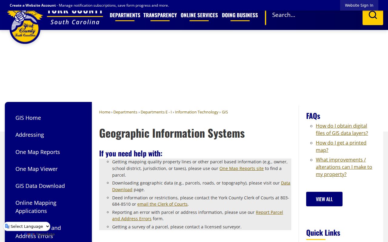
The guidance keeps map research in its proper place: it can locate a parcel and its tax-map reference, while the ROD supplies recorded instruments and a survey resolves a boundary question.
For a defined county record that is not otherwise available, York County's FOIA process accepts an online request and uses the South Carolina FOIA timetable. For a City permit file, use Rock Hill's written FOIA route. The library, Pettus Archives, Historical Center of York County, and South Carolina Department of Archives and History are the historical alternatives for a deed, map, directory, newspaper, or older court trail.
- Parcel
- A mapped piece of land identified by a tax-map reference. It helps connect a street address to county records.
- Situs address
- The physical location of the parcel. It can differ from a tax mailing address used for notices.
- Plat
- A recorded map that can identify a lot, block, subdivision, or boundary reference in a deed.
- Criss-cross directory
- A reverse directory arranged to move from an address or street entry to a listed name for that edition.
Rock Hill Street Directory Limits
A Rock Hill street directory cannot show every person at an address. Some people are absent from land records, historic directories are time-specific, and official maps do not identify a full household. The voter self-service tool is an individual verification service, not a public street browser. Its login requires county, first name, last name, date of birth, and the last four digits of a Social Security number. That information should never be copied into research notes or shared.
South Carolina's Address Confidentiality Program can require agencies and courts to use a substitute address for qualified participants. Beginning in 2026, qualifying judges and certified law-enforcement officers may seek removal of specified personal data from government websites. A missing online entry does not establish that a location has no occupants or that an official in-house record is unavailable.
Lawful use. Rock Hill address records are for lawful personal, civic, family-history, estate, and property research. Never use a street search to stalk, harass, intimidate, or harm another person.
South Carolina law also bars knowingly obtaining or using personal information from public records for commercial solicitation. Verify an address fact with the office that holds the record, and use the official correction route when the parcel or address data appears wrong.